The Upper Middle Fork of the Flathead is a very challenging and remote run recommended for advanced paddlers only. The only way you can access the putin for this float is by plane or horse. At high water this run is very dangerous due to logjams and other obstructions.
This trip usually takes 3-4 days to run. Raft or Cataraft support must be on their A-game to make this run safe and successful.
Just to add a little the description already here: This run has scenery of the highest quality, ranging from awesome mountains to beautiful forests to hauntingly dark gorges and more. The gauge listed is quite a ways downstream of the take-out and is an indicator of flow not a true reading of what you will be on. Our group hiked in granite creek and a full day was needed with kayaks loaded for over night camping. While the hike was worth it once, I would be quite hesitant to do it again. On the other hand I'd happly shell out for the flight which would mean heavier boats but more comfortable camping. The canyon river is just too awesome to spend one night. The whitewater isn't constant and really was condensed down to 2 miles of goods with a lot of II-III filling out the rest of the float. Three forks rapids above our put-in at granite would help round out the whitewater of the trip, but I would consider this a wilderness/camping trip with a splash of good CL IV whitewater.
If you live in driving distance this should be on your to-do list.
| Class | III+ to IV+ |
| Current Flow |
8950.0 CFS 05-19-2024 11:45 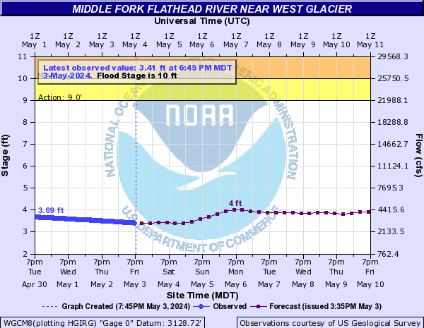
View River Forecast |
| Recommended Flow |
Minimum: 900.0 Average: 10000.0 Maximum: 19000.0 |
| Typical Season |
Begins: May Ends: September |
| Recommended Use |
Kayaking: Yes Rafting: No Canoeing: No SUP: No Packrafting: No Fishing: No |
| Primary Gauge | M F Flathead River near West Glacier MT |
| Length | 26.0 Mile(s) |
| Gradient | 36.97 FPM |
